I think if I were to do a survey of my friends here in the Burren, only 20% of them would have ever heard of this ring fort let alone have visited it! While it is slightly difficult to get to, it is well worth the visit and a nice walk.
Location:
Click here for Google maps.
Just after Cassidy’s pub in Carron, take the small road to the left. Drive along this road until you see the brown sign for Cahercommaun. Don’t trust the Google Maps location too much just stay driving the road until you find the sign.
Then park up in a safe spot and you go on foot from here.
What do I need?
A good pair of walking shoes and water.
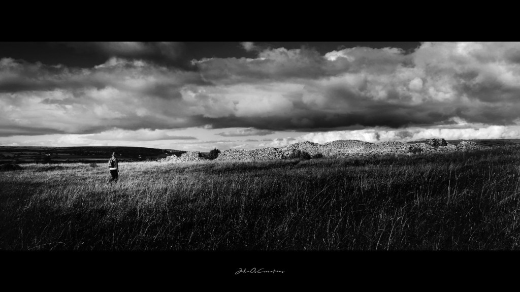
Cahercommaun is a triple ring fort situated on a cliff edge, thus making it very similar to Dun Aenghus on the Aran Islands. It is believed to have been built around 800 A.D.
I first read about it in a book by T.J. Westropp called Archeology of the Burren. It’s basically my road map for deciding where to explore. There is a really good information board at the start of the walk to the fort so be sure to stop off and take a picture of it before you commence walking.
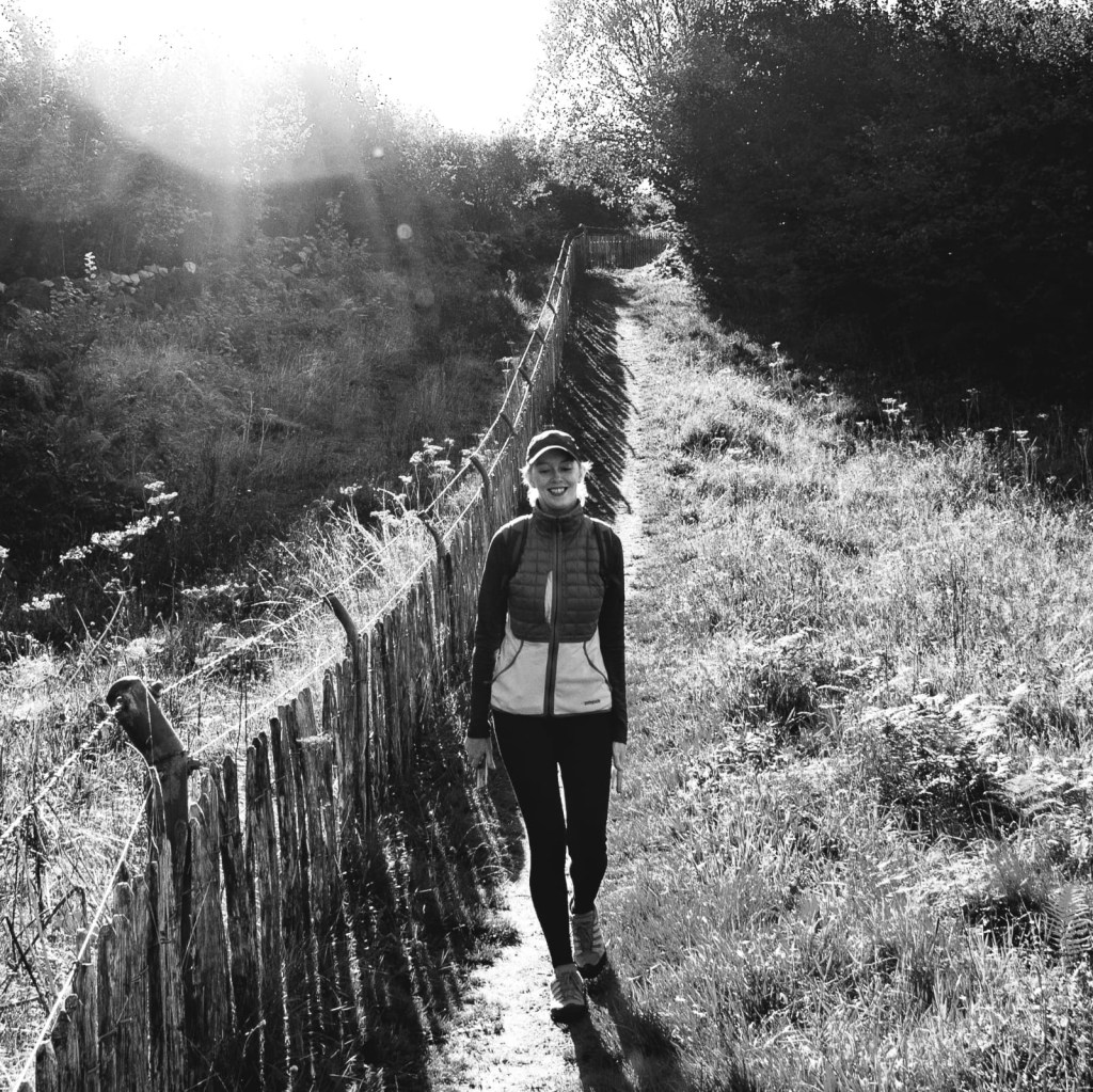
From the entrance, it is about a 20 minute, easy walk to the site. While it is in ruins, you can still make out the three walls and the general shape of the fort. Excavations have shown that when it was in use, there were 12 stone buildings on the site, some of which had soutterrains.
The picture from the information board is useful when you are standing there trying to imagine how it was. There was no one else on the site when we visited which made this a great find!
Afterwards, treat yourself to lunch or a drink in Cassidys Pub in Carron.
